Winter Storm Landon Heads Toward Southern Tier
The National Weather Service has issued Winter Storm Watches extending from Western New York through the Southern Tier for Wednesday Night through Friday afternoon as the next winter storm system heads eastward.

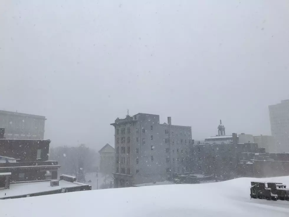
Areas like Buffalo, Rochester and Geneseo are looking at the possibility of nine inches or more of snow accumulation from what the Weather Channel has named Winter Storm Landon.
The National Weather Service in Binghamton says a Winter Storm Watch is in effect from 1 a.m. February 3 to 3 p.m. February 4 for the Southern Tier, including Broome, Tioga, Chenango and Otsego Counties.
Several inches of snow and sleet accumulations are possible. The National Weather Service says there is a potential for ice accumulation of around a tenth of an inch.

Forecasters say during the period from late Wednesday night through Friday afternoon, travel could be difficult and the conditions could impact the morning or evening commutes.
The precipitation is expected to be light as it moves into the region during the night February 2 and Thursday, February 3 with the main round of snow, sleet and freezing rain Thursday night. The National Weather Service says the Southern Tier can expect the mixed bag to transition to snow by Friday morning.
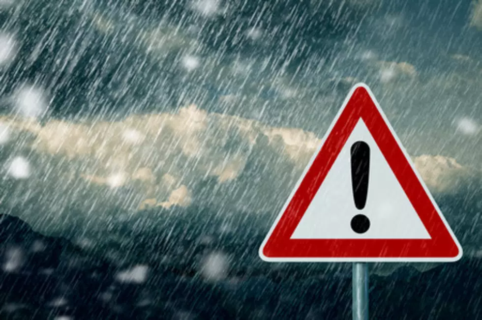
TIPS: Here's how you can prepare for power outages
Waking Up To A Huge Snowstorm In The Twin Tiers
5 Restaurants That The Southern Tier Needs
More From KISS 104.1


![[GALLERY] These Are The 10 Coldest Binghamton Temperatures On Record](http://townsquare.media/site/497/files/2022/02/attachment-Cold-Southern-Tier.jpg?w=980&q=75)
