Twin Tier Residents to Get New Alerts About Thunderstorm Damage Potential
The National Weather Service is launching a new set of thunderstorm alerts that will better inform residents about what may be in store during stormy conditions.
Starting August 1, NOAA will be alerting residents using three categories of damage threat from severe thunderstorms: “Destructive” for the worst that will activate a Wireless Emergency Alert on smartphones and lesser “Considerable” or “Base” notices that won’t activate a WEA.

The National Weather Service says a “Destructive” threat is for hail that could be at least two-and-three-quarters of an inch in diameter. That’s the size of a baseball. The designation is also for 80 mile an hour winds with or without the potential for the big hail. That kind of threat will automatically set off smartphones within the warned area.
The criteria for “Considerable”, which won’t set off the phone alert, is for a threat of hail of at least one-and-three-quarters inch diameter, or the size of golf balls, and/or thunderstorm winds of 70 miles per hour.
The “Base” severe thunderstorm tag is for quarter-sized, or one-inch diameter hail and/or 58 mile per hour winds.
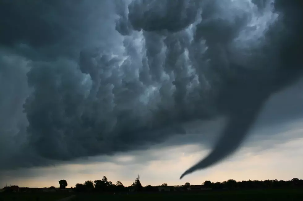
No matter the level of severity anticipated, forecasters say thunderstorms can be dangerous and severe weather life-threatening. Some storm conditions could go from heavy rain and flash flooding along through dangerous lightning, damaging straight-line winds called derechoes, large hail.. right up to tornadoes.
The weather service is still issuing separate Tornado and Flash Flood warnings.
The National Weather Service says, on average, only ten percent of severe thunderstorms reach the destructive level each year but 13 of the 22 most costly weather disasters in the U.S. in 2020 were severe thunderstorms.
LOOK: The most expensive weather and climate disasters in recent decades
KEEP READING: What to do after a tornado strikes
More From KISS 104.1


![Ten Years Ago: Do You Remember These Scenes From The Flood Of 2011? [GALLERY]](http://townsquare.media/site/497/files/2021/07/attachment-2011-Looking-Down-South-Washington-Street.jpg?w=980&q=75)


